Beinn a 'Bhùird
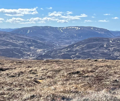
Beinn a 'Bhùird in the eastern Cairngorms is a huge mountain with a vast plateau overlooking an impressive line of cliffs dropping on its eastern side.
Beinn a 'Bhùird
| Height | 1197m |
| Prominence | 456m |
| Meaning | mountain of the table |
| Lists | Munros, 11 |
| Location | East of Lairig an Laoigh, Cairngorms and North East Grampians |
| Grid Ref | NJ093006 |
| Lat/Lon | 57.08733, -3.49869 |
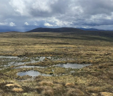
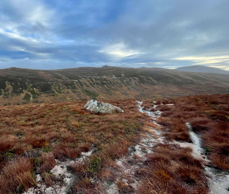
In the eastern Cairngorms, Beinn a' Bhùird is a vast sprawling mountain with several tops above Munro height. The mountain's western slopes are grass and heather clad and rise to arctic-like tundra higher up. Beinn a'Bhùird's eastern face is lined with massive cliffs and crags overlooking a series of dark coires.
Various routes can be used to reach Beinn a' Bhùird, most of which travel along estate tracks to gain the foot of the mountain from where a network of constructed paths lead higher up. On the plateau, paths become faint and good navigation skills will be needed to find the tiny cairn sitting on the North Top, the summit of Beinn a' Bhùird.
Routes up Beinn a 'Bhùird
Ben Avon and neighbours from Linn of Quoich | |

|
Bike and hike route through Scots Pine forests up high plateaux and volcanic tors on the Munros Ben Avon, Beinn a' Bhùird, Beinn a' Chaorainn and Beinn Bhreac. Peaks : 4 Munros
Ascent : 1740m (5710ft) Distance : 50km (31m) Time : 12:15hr |
Ben Avon and Beinn a' Bhùird from Tomintoul | |

|
A delightful cycle through Glen Avon is followed by hiking paths on gentle slopes to pass weird rocky tors to reach the summits of Ben Avon and Beinn a' Bhùird. Peaks : 2 Munros, option of 1 Fiona
Ascent : 1600m (5250ft) Distance : 51km (32m) Time : 10:30hr |
Nearby hills and mountains