
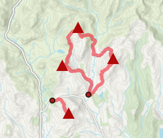
Driesh and Mayar
Hillwalking route up Driesh and Mayar above Glen Doll in the Angus Glens. Easy paths make these Munro twins ideal for a shorter day.
Route outline
| Munros | ||||
| Ascent | 900m (2950ft) | |||
| Distance | 14km (9m) | |||
| Time | 5:00hr | |||
| Start/finish | Glen Clova car-park Grid Ref : NO234761 | |||
| Terrain |
| |||
| Nav |
| |||
| Effort |
| |||
| Scenery |
| |||


Of the Angus Glens, Glen Clova is arguably the most beautiful and it leads onto Glen Doll which is overlooked by the dramatic winter corries of Driesh and Mayar. Above these corries, well-worn paths trace routes over gentle terrain and along wide grass-covered crests making route finding fairly easy.
This route takes the most direct way up Driesh and Mayar and is a fine introduction to hill-walking, so much so, I'd say this route is one of the easiest Munro days.
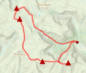
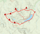
Show map

Route description
1. Getting to Glen Doll

Glen Doll Visitor Centre
Glen Doll is the starting point of this route, with the nearest town being Kirriemuir to the south. From Kirriemuir, roadside signs lead out of the town to Glen Clova.
In Glen Clova the road forms a circular route on either side of the River Clova, where apparently an unofficial clockwise one-way system is in place.
High up Glen Clova, the road crosses a bridge by Glen Clova Inn, from where a single-track road is followed for just under 6km to a large car-park at the road end. It costs £3 to park here - worth the decent visitor facitilies including centre, toilets and path construction.
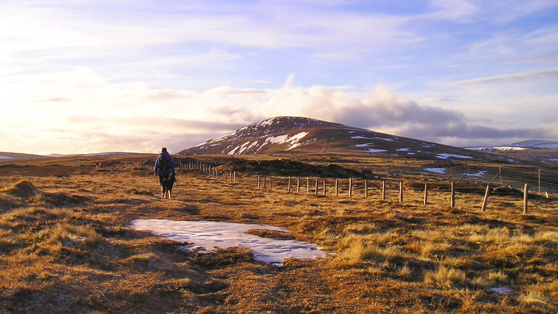
2. Driesh

Path approaching bealach between Munros
From the car-park, follow the track north-west, pass some farm buildings, through a gate and come to a junction  with various signs.
At this junction, turn left (marked 'Kilbo Path') and walk down to a bridge.
with various signs.
At this junction, turn left (marked 'Kilbo Path') and walk down to a bridge.
Beyond the bridge the track veeres right, which is followed for 400m to a sharp turn. Look for a path aiming directly uphill. Follow this path, which crosses another track further on (sign post 'Kilbo Path').
The path climbs up what used to be thick forest, but with recent felling, the views are now more open. Further on, the remaining forest is entered and the Burn of Kilbo  is reached and crossed (with care in spate).
The path exits the forest and climbs up below the crest of Shank of Druimfollow to meet with a cairn just before reaching the bealach  between Driesh and Mayar.
The cairn marks a junction in the path - turn to the left and follow the path as it drops slightly, then climbs initially hugging the edge of the corrie.
The path becomes fainter and travels to the summit of Driesh  with a cairn sheltering its trig point.
3. Mayar

Descending Driesh on way to Mayar
Return to the bealach , hike up directly ahead, following a few old fence posts partically buried in the grass and rocks (watch out for the hidden wire in the ground).
Upon reaching the top of Shank of Druimfollow, turn left (west) then continue on fairly level ground, following fence posts east until a Right-of-Way sign at a sharp corner  on the fence line is reached.
At this point, leave the fence behind and on a very obvious and worn path, continue westwards. The ground rises and becomes more bouldery as the summit of Mayar  is attained.
4. Return

Returning to the Kilbo Path
On Mayar, about turn and retrace your steps to the Kilbo Path and the top of Shank of Druimfollow. Follow the heading eastwards to pick up the path by the cairn met earlier in the day and re-trace your steps back down into Glen Doll and to the car-park.
Route profile »

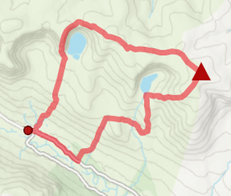
Maps and GPX downloads »


|
Download GPX of route |

|
Open route in OS Maps |
The map images above link to items on Amazon. A small commission is earned on any map purchased which helps fund the operating costs of this website.
Weather forecasts »
| Regional | MWIS - Southeast Highlands |
| Peak specific | Mountain Forecast.com Met Office YR.no |
| Seasonal | SAIS - Southern Cairngorms Midge forecast |
Alternative and nearby routes »
Munros above Jock's Road | |
|
Route over Driesh, Mayar, Tom Buidhe and Tolmount above Jock’s Road. A grassy circuit with little feature, sure to test navigation skills. Peaks : 4 Munros
Ascent : 1375m (4510ft) Distance : 26km (16m) Time : 9hr |
Ben Tirran from Glen Clova | |
|
Circular hillwalking route up Ben Tirran from Glen Clova and above Loch Brandy and Loch Wharral leads to 'The Goet', the hill’s highest point. Peaks : 1 Corbett
Ascent : 870m (2850ft) Distance : 15km (9m) Time : 5:15hr |
Glen Isla hills | |
|
Hillwalking route up Monamenach, Mount Blair, Badandun Hill and Duchary Hill - the Corbett and Fiona hills surrounding Glen Isla. Peaks : 1 Corbett, 3 Fionas
Ascent : 1610m (5280ft) Distance : 25km (16m) Time : 8:55hr |
Mount Keen from Glen Mark | |

|
Biking and hiking route up Mount Keen from Glen Mark and Glen Esk. Estate tracks and good paths give a straightforward route to the summit. Peaks : 1 Munro
Ascent : 700m (2300ft) Distance : 16km (10m) Time : 2:30hr |
Lochnagar and Loch Muick circuit | |
|
Hillwalking route over Lochnagar and its 4 neighbouring Munros above Loch Muick in Royal Deeside, forming a classic high-level circuit. Peaks : 5 Munros, 1 Corbett
Ascent : 1340m (4400ft) Distance : 28km (17m) Time : 9:15hr |


