
Map of Corbetts
This Corbett map is an interactive map of Corbetts and Corbett Tops — Scotland’s mountains between 2,500ft and 3,000ft — showing summit locations, markers and links to detailed hillwalking, hill-running and scrambling routes.
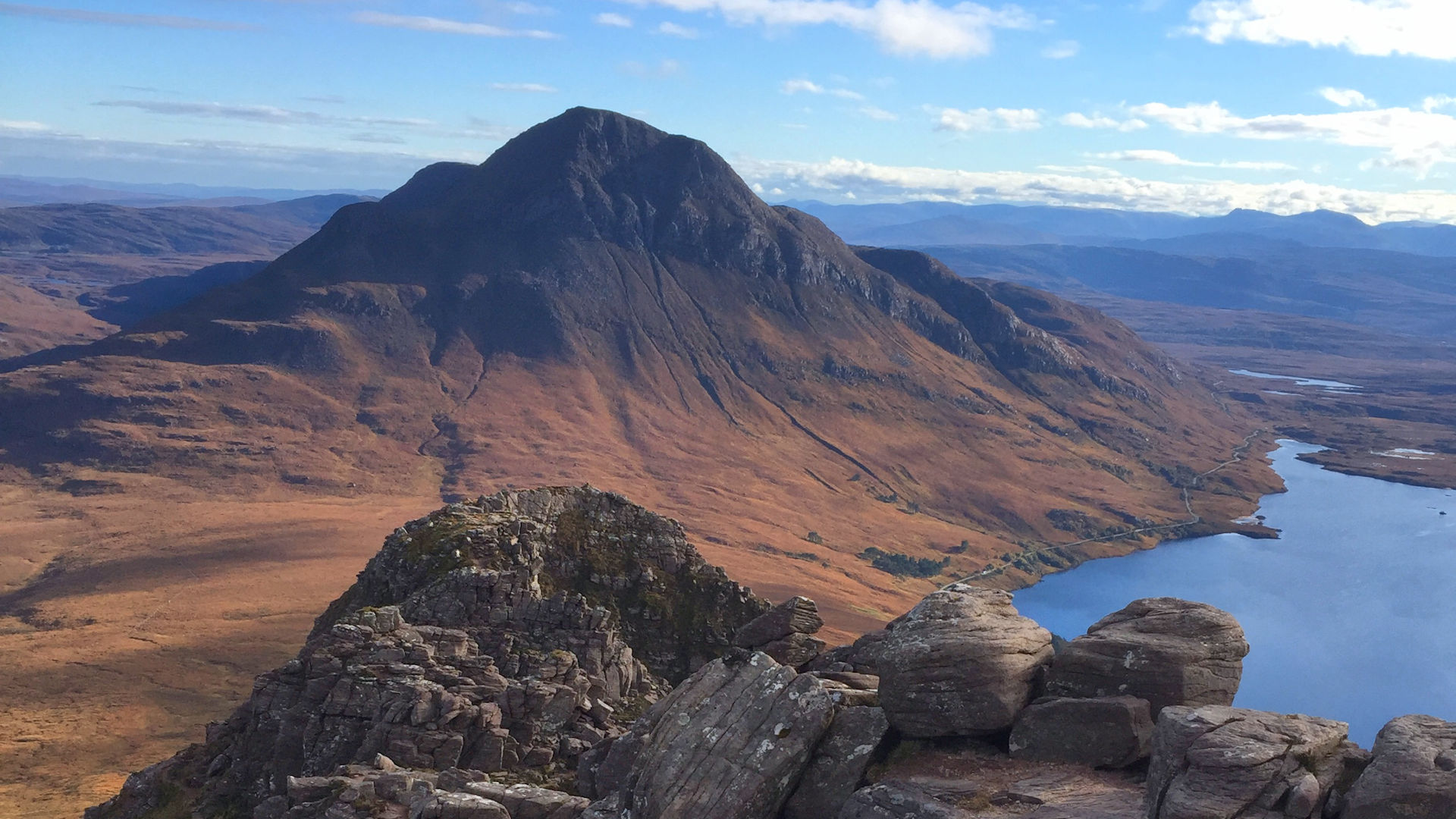
This interactive map shows all 222 Corbetts — Scotland’s mountains between 2,500ft and 3,000ft with a prominence of 500ft or more — together with the 453 Corbett Tops. Summits are shown across the Highlands and Islands, with every marker linking to a page or popup with further information.
The map can be zoomed and panned to explore individual mountain areas. Zooming in reveals additional detail, including summit names. Click or tap on a summit marker to open a popup showing the hill name, height and a link through to the relevant Corbett page.
Corbett Tops can be shown or hidden using the Show Tops toggle. This setting is remembered for future visits on the same device. Popups for Corbett Top markers show their parent Corbett or, where applicable, their parent Munro.
Height and location data is sourced from the Database of British and Irish Hills. Heights are rounded to the nearest metre and may therefore differ slightly from other published sources.
Prefer a list view? See the list of Corbetts and Corbett Tops.
More general information about Corbetts, including background detail and sortable lists, can be accessed via the breadcrumb-style popup menu near the top of the page.


