

Easiest Munros
The 10 easiest Munro mountain bagging routes. That's 10 of the most straight-forward hikes to summits over 3,000 feet high in Scotland !
Below are 10 of the easiest and most straight-forward Munro routes, ideal for Munro-bagging beginners or those looking for a short hike up hills in Scotland.
All of the routes have very obvious paths to their Munro summits and on some it is possible to continue further and bag more peaks.
A summary of each hillwalking route's ascent, distance and expected time is shown along with a link to a page which gives more information, including maps, GPX file to download, outline of longer routes, photos and much more.

1 - The Cairnwell and Carn Aosda
Recommended route
Ascent : 430m
Distance : 5km
Duration : 2hr
The Glenshee Ski Centre sits at 650m above sea-level and is overlooked by several Munros, including Carn Aosda and The Cairnwell.
These two peaks can be hiked in an afternoon and since their routes follow good tracks and have very little ascent, are ideal for Munro-bagger beginners.
There are lots of other route options combining The Cairnwell and Carn Aosda with other hills including a hillrace taking in another 7 Munros !
Ascent : 430m
Distance : 5km
Duration : 2hr
Route info and map »
2 - Meall nan Tarmachan
Recommended route
Ascent : 700m
Distance : 7km
Duration : 3hr
Meall nan Tarmachan is the Munro summit and the most easterly peak on a fine circular ridge walk above Loch Tay.
The route starts from below the Lochan na Lairige reservoir at just under 500m above sea-level. With an ascent of 700m on a fine path, a direct there-and-back up Meall nan Tarmachan makes for a fine introducation for beginners to hill walking.
Alternatively, continue hiking from the summit on circular route over three other 'Munro Tops' with a spot of easy rock-scrambling on the way.
Ascent : 700m
Distance : 7km
Duration : 3hr


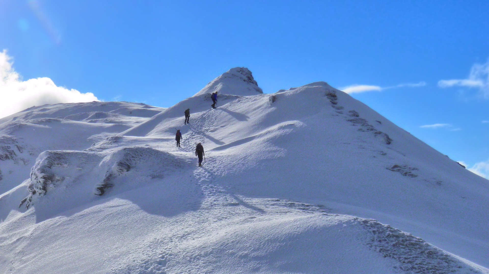
3 - Carn Liath on Beinn a'Ghlo
Recommended route
Ascent : 640m
Distance : 8km
Duration : 3hr
Beinn a'Ghlo is a massive and complex mountain range towering above Blair Atholl and Glen Tilt.
The most southerly peak of this range is Carn Liath, a fine Munro of conical shape as seen from the south.
To reach the summit of Carn Liath, obvious tracks and paths are followed up a mere ascent of 640m.
For most beginners to hillwalking, Carn Liath's summit will be their goal, but if you have confidence and some navigation skills, continue further along Beinn a'Ghlo's crests to the other Munros of Braigh Choire Chruinn-bhalgain and Carn nan Gabhar for an enjoyable day hiking.
Ascent : 640m
Distance : 8km
Duration : 3hr
Route info and map »

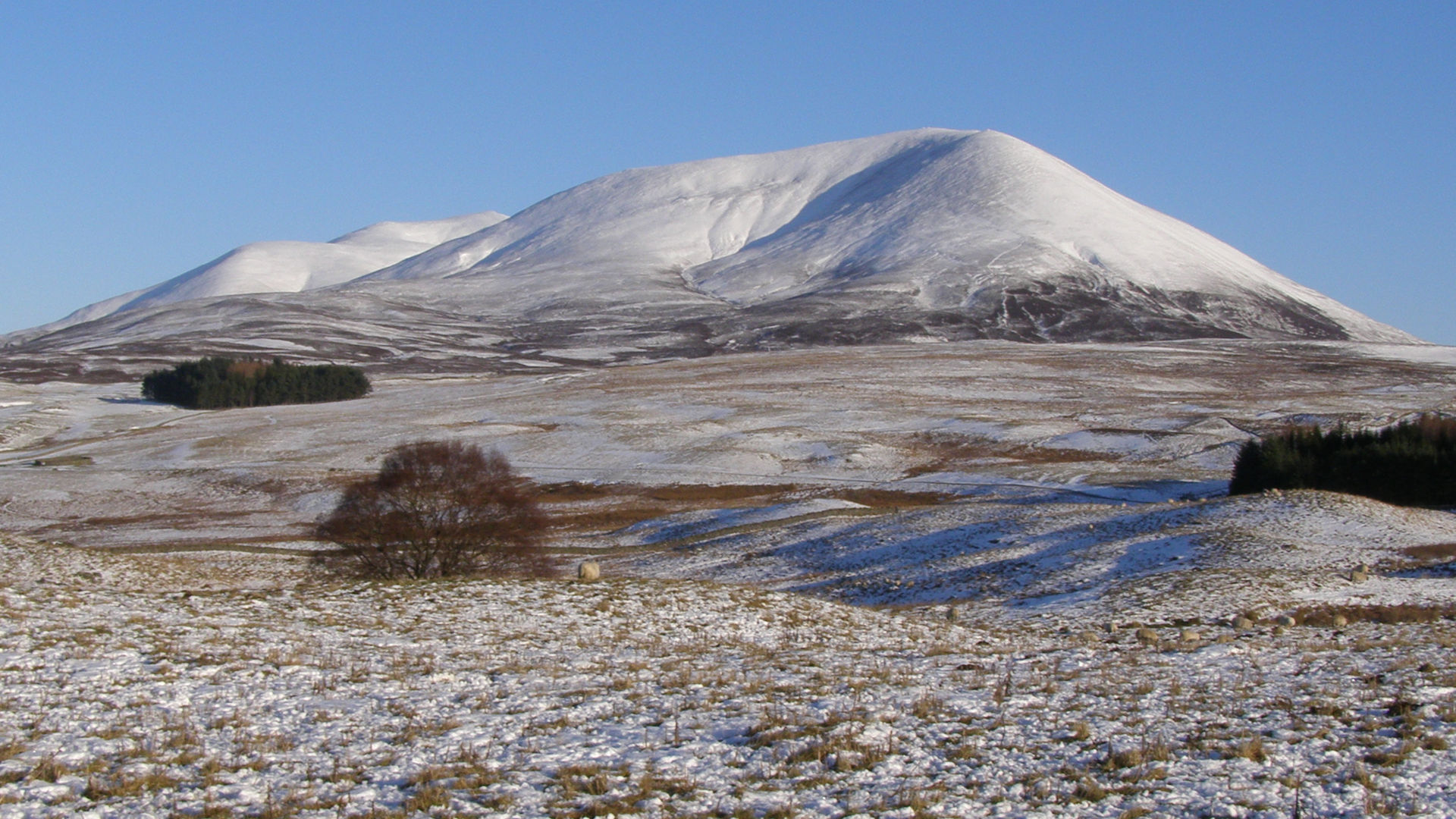
4 - Ben Chonzie
Recommended route
Ascent : 750m
Distance : 12km
Duration : 4hr
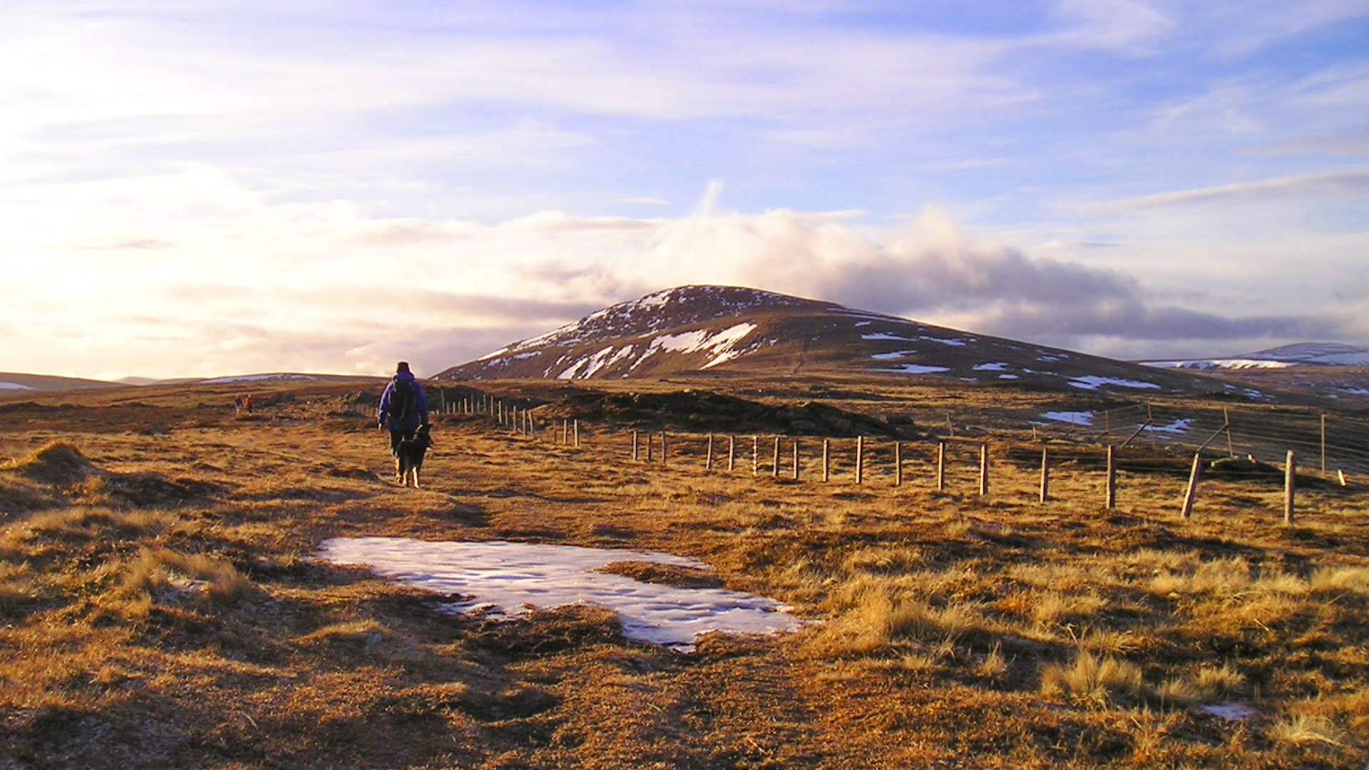
Ben Chonzie sits in the Southern Highlands near Crieff and there are various approaches from Sma' Glen, Glen Turret and Glen Lednock.
The easiest route for hillwalking beginners is from Glen Lednock (pictured), which follows fine tracks and fence-posts all the way to the summit cairn.
A longer alternative is a circular route above Loch Turret, which also takes in the neighbouring Corbett peak of Auchnafree Hill.
Ascent : 750m
Distance : 12km
Duration : 4hr

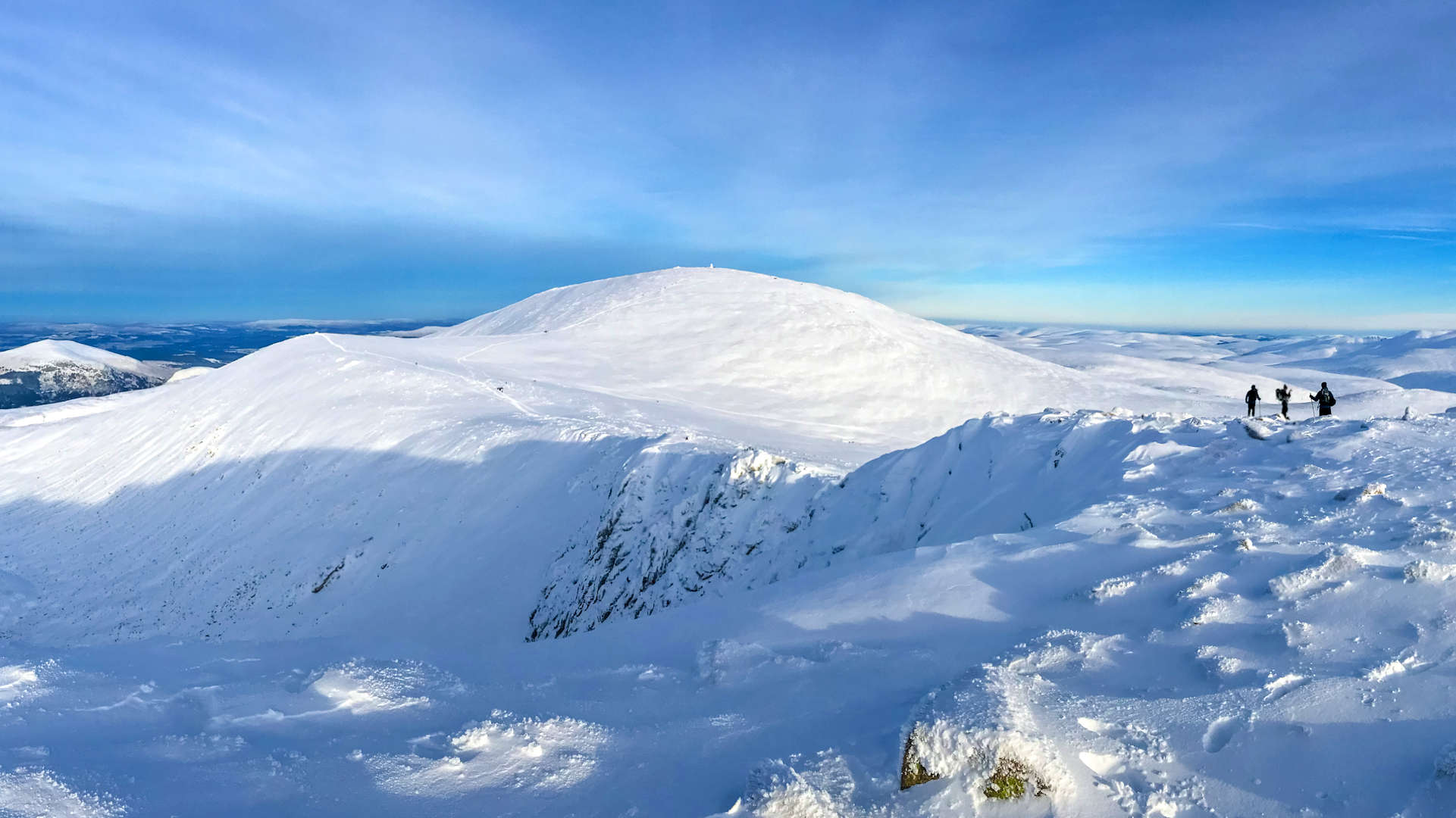
5 - Cairngorm
Recommended route
Ascent : 625m
Distance : 6.5km
Duration : 2:40hr
Cairngorm's summit is more than 4,000ft above sea-level and as such, Cairngorm is the 6th highest mountain in Scotland.
Yet with Cairngorm Mountain Resort directly below, this mountain is very accessible and ideal for beginners to summer hill-walking.
The 'Windy Ridge' path starts from the ski centre and leads all the way to Cairngorm's summit, from where views are over vast plateaus with Arctic-like tundra, hidden lochans, long narrow crests and dark corries.
But beware, due to this mountain's height and location, conditions can change dramatically, even summer !
Ascent : 625m
Distance : 6.5km
Duration : 2:40hr
Route info and map »

6 - Schiehallion
Recommended route
Ascent : 750m
Distance : 10km
Duration : 3:45hr
Where scientists estimated the mass of the earth and contours began, Schiehallion is a significant mountain.
The shape and isolation of this Munro make it a prominent mountain and a distinctive landmark from some directions.
The John Muir Trust own much of the land around Schiehallion and have constructed an excellent path up its north-east flank.
This makes for an easy approach for beginners to hill-walking, but beware the path rises to just over 800m, from where there is a further 200m of ascent on rough terrain !
Ascent : 750m
Distance : 10km
Duration : 3:45hr
Route info and map »
7 - Mount Keen
Recommended route
Ascent : 600m
Distance : 16km
Duration : 3:30hr
Mount Keen is the most easterly of all the Munros, and sits in the fringes of the Cairngorm National Park, south of Ballater.
The easiest approach is from the end of the public road in Glen Esk and up through Glen Mark.
Fine tracks pass the 'Queen's Well' and lead up to over 650m, from where an excellent path is followed to Mount Keen's summit.
Navigation couldn't be easier. A bike is recommended for the cycle along much of the track !
Ascent : 600m
Distance : 16km
Duration : 3:30hr
Route info and map »
8 - Driesh and Mayar
Recommended route
Ascent : 900m
Distance : 14km
Duration : 5:00hr
The Munro twins of Driesh and Mayar look down over the Angus Glens. The easiest route starts from Glen Doll, where fine tracks, paths and fence-post lines make for straightforward navigation to the summits.
This, combined with the relative short distance make for a lovely afternoon's hiking and a good introduction for beginners to hillwalking.
Ascent : 900m
Distance : 14km
Duration : 5:00hr
Route info and map »
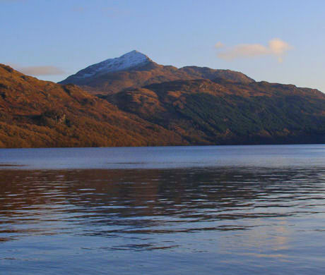
9 - Ben Lomond
Recommended route
Ascent : 975m
Distance : 11km
Duration : 4:20hr
The most southerly of all the Munros !
With a well-maintained path to the summit and being close to the large conurbations of the Central Belt, Ben Lomond can therefore can get quite busy, particularly on bank-holidays and in summer.
Best therefore to head up first thing in the morning to savour the vast views from the summit in tranquility.
Ascent : 975m
Distance : 11km
Duration : 4:20hr
Route info and map »

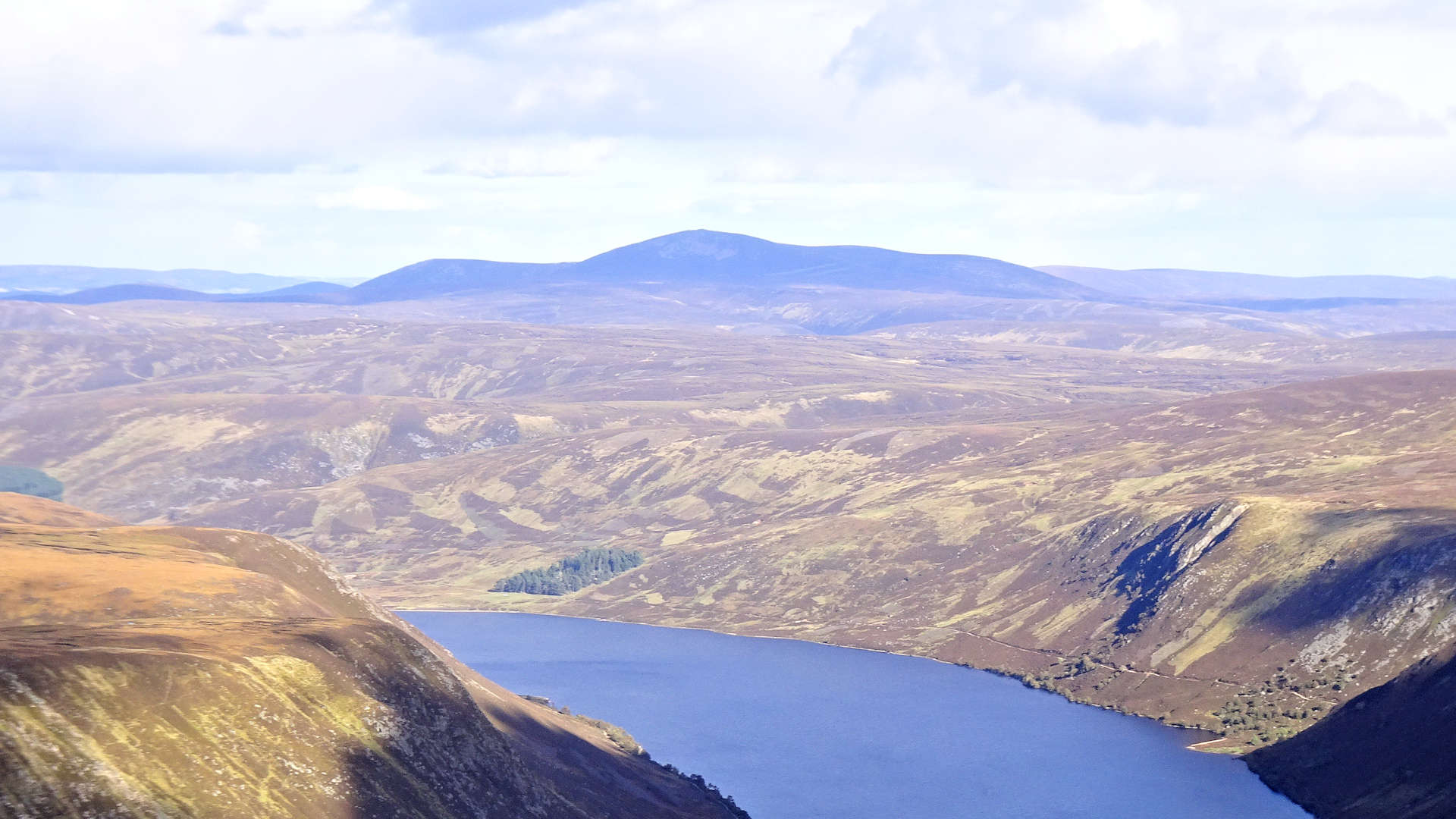
10 - Ben Vorlich
Recommended route
Ascent : 885m
Distance : 8km
Duration : 3:30hr
The easiest route up Ben Vorlich begins from the shores of Loch Earn and travels through delightful woodland.
Easy walking on a fine track to the base of the mountain from where a decent path leads up higher.
A bit of easy rock-scrambling can be enjoyed if you fancy extending the route to include the nearby rocky Munro of Stuc a'Chroin.
Ascent : 885m
Distance : 8km
Duration : 3:30hr
Times are calculated using a variation of Naismith's rule : 4km/h distance + 600m/h ascent
Other fairly easy Munros that just missed out being in the list of the 10 easiest Munroes are :
| Ben Wyvis above Dingwall | Ben Hope in the far north |
| Ben More on Mull | Glas Tulaichean, Glenshee |
| Meall Chuach, Dalwhinnie | Geal-charn, Dalwhinnie |
| Beinn na Lap above Loch Ossian | Beinn Ghlas & Ben Lawers |


