
Southern Uplands and Arran hillwalking routes
The finest hill-walking routes on the hills and mountains in Scotland's Lowlands, Southern Uplands and Isle of Arran.
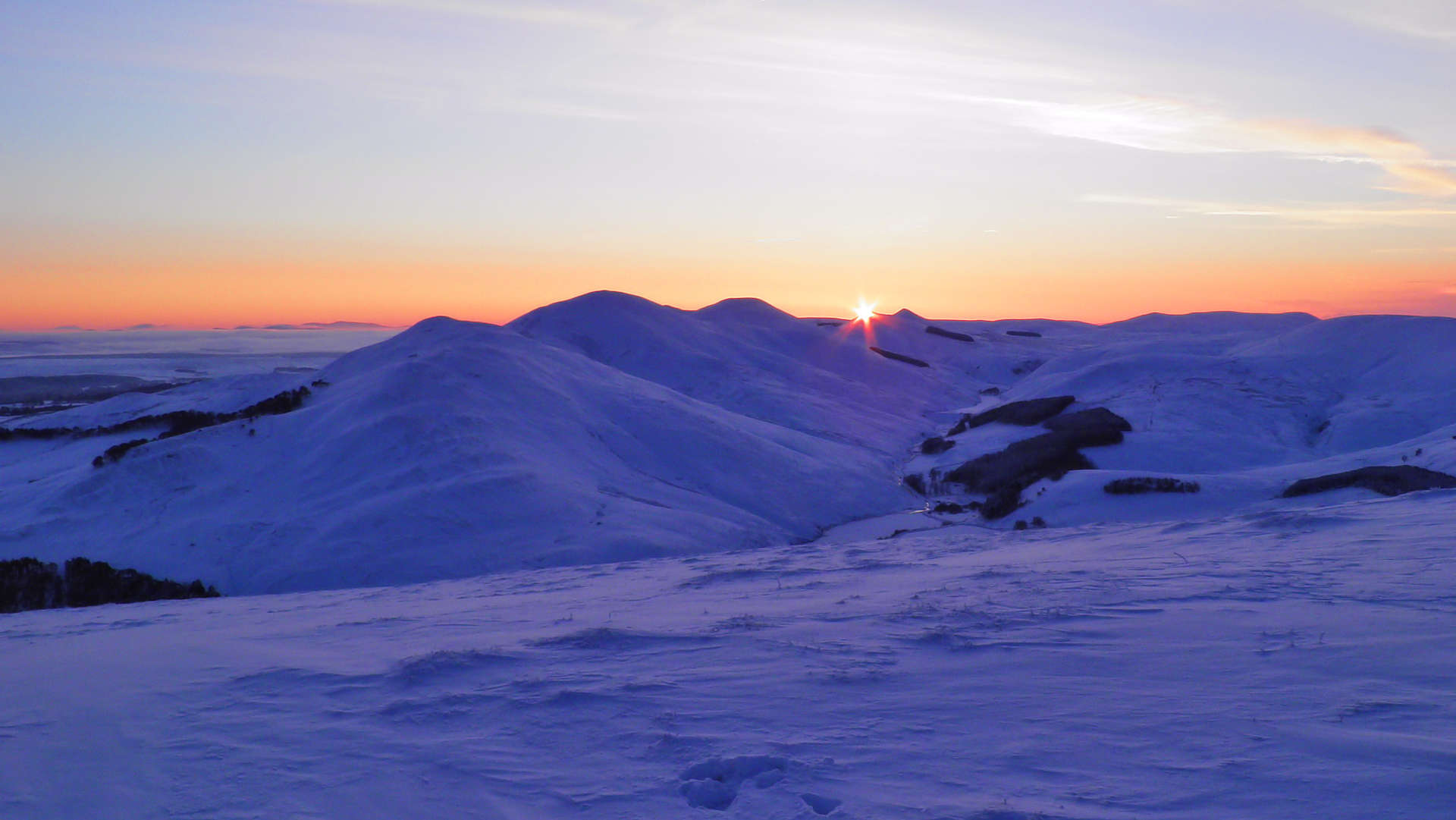
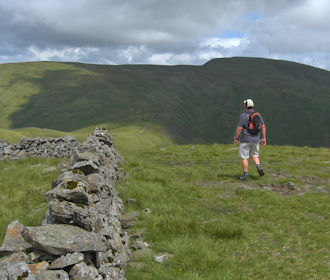
1. Pentlands | |
 |
Many starting points and tracks everywhere make the northern Pentland hills so accessible and create endless route possibilities.
The southern Pentland hills are more remote with fainter paths and fewer tracks.
Hillwalking routes:
|
2. Moorfoots | |
 |
The western Moorfoot hills form a high-level circuit over varied terrain where tracks lower down give way to faint paths higher up.
The eastern Moorfoot hills have more runnable terrain with high-level grass covered circuits and excellent views.
|
3. Broughton Heights | |
 |
Halfway between Biggar and Peebles is the picturesque village of Broughton surrounded by farmlands and forestry, above which stand grass and heather clad rolling hills with well-defined crests.
Hillwalking routes:
|
4. Manor Hills | |
 |
The hills surrounding Glensax south of Peebles form wide crests that create a superb fell-running area, so much so there are several hill-races here, including the famed Two Breweries Hill Race.
|
5. Above Tweedsmuir | |
 |
Broad Law stands above Tweedsmuir from where a track aims all the way to the summit. Approach from Megget to the south instead and although there's no path, there's only 400m of ascent !
Hillwalking routes:
|
6. Culter and Glen Holm | |
 |
South of Biggar is Culter Reservoir encircled by hills and high moorland, in which Culter Fell is the highest. A hill race approaches Culter Fell from Holms Water to the east.
Hillwalking routes:
|
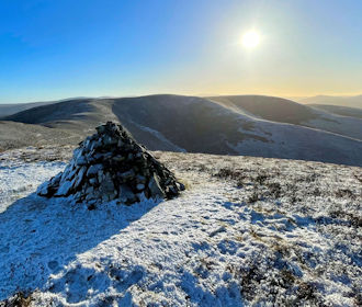
7. Tinto Hill | |
 |
Tinto sits alone above the Clyde Valley and as such affords stunning views in all directions from its huge untidy cairn. The annual hill race up Tinto travels up its northern aspect, takes place in November and is very popular.
Hillwalking routes:
|
8. Moffat hills | |
 |
South of Megget reservoir and above the famed 'Grey Mare's Tail' the Corbett summits of Hart Fell and White Coomb are the highest points in a run of rolling hills.
Hillwalking routes:
|
9. Lowther and Durisdeer | |
 |
In a fairly remote area south-west of the M74 corridor, the rolling Lowther and Durisdeer hills are crossed by the Southern Upland Way.
Hillwalking routes:
|
10. Forest of Carsphairn | |
 |
South of New Cumnock, Cairnsmore of Carsphairn is the highest hill in the range of rolling grass covered lumps above the farmlands and forestry of Carsphairn Forest.
Hillwalking routes:
|
11. Corserine and the Kells | |
 |
Corserine is the highest point on the long wide grass-covered ridge of the Kells Range stretching north-to-south in Galloway Forest.
Hillwalking routes:
|
12. Glen Trool | |
 |
Merrick is the highest hill in the Southern Uplands and rests in Galloway above Glen Trool. Shalloch on Minnoch is to the north of Merrick, linked by a wide crest with minor summits and little lochans.
Hillwalking routes:
|
13. Isle of Arran | |
 |
Most people will simply hike up and down Goatfell in Arran via the tourist route.
A finer day can be had on Glenrosa Horseshoe which includes Cir Mor and Goatfell where some scrambling is involved while taking in superb views.
To the west of these fine peaks is Beinn Bharrain, a quieter peak with long ridges.
Hillwalking routes:
|


