

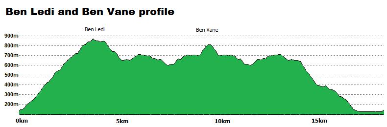
Ben Ledi and Ben Vane
Routes on the Corbetts above Loch Lubnaig
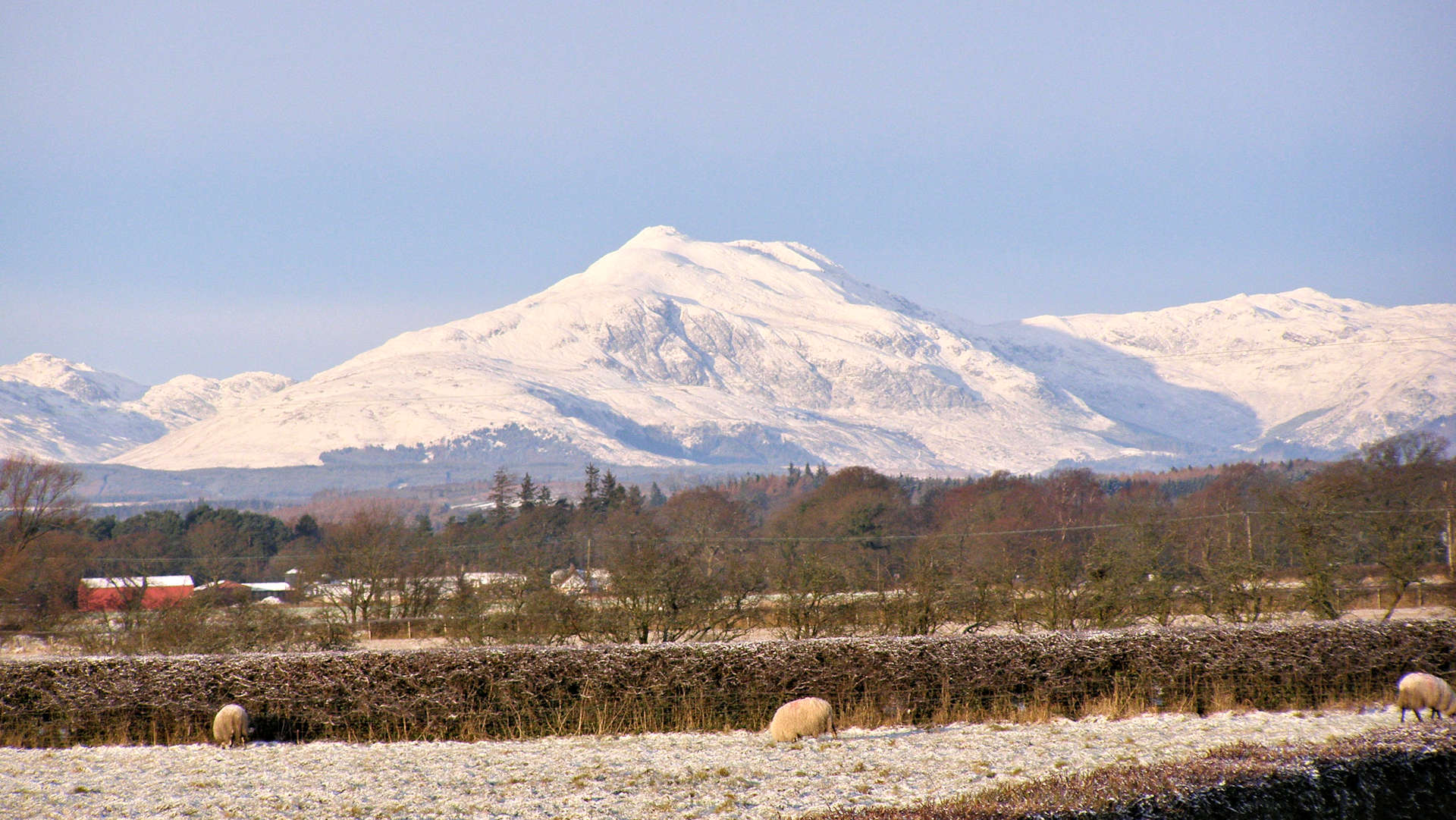
Ben Ledi and Ben Vane are popular hills towering above Loch Lubnaig, just north of Callander .Vast views can be taken in en route, and the race routes up nearby Ben Sheann and Stuc a'Chroin can be easily be picked out.
Main route summary

Map base ©OpenStreetMap
| Corbetts |
Ben Ledi (879m) Ben Vane (821m) |
| Ascent | 1250m (4100ft) |
| Distance | 17.5km (11m) |
| Time |
walking : 5:30hr* running : 1:50hr *Naismith's rule : 4km/h distance + 600m/h ascent |
| Start/finish |
South end of Loch Lubnaig
(grid ref : NN587091) |
| Profile | ||||
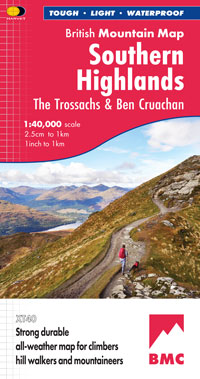
| Maps |
The map images above link to items on Amazon.
A small commission is earned on any map purchased which helps fund the operating costs of this website. More information on maps is on this page
|
|||
| Downloads |
Information on GPX files is on this page.
|
|||
| Terrain |
| |||
| Navigation |
| |||
| Effort |
| |||
| Scenery |
| |||
| Meanings | Ben Ledi : 'hill of the long shoulder' Ben Vane : 'middle hill' |


 and the views open up.
 and onto the crest of Ben Ledi's south-east shoulder.
 with its trig point and large iron cross errected in memory of a member of the mountain rescue killed in service.
 marking the top of the descent path heading down towards Loch Lubnaig.
 is reached (marked 722m on the OS Landranger map).
 , but if you are prepared to lose a little height, a direct ascent of Ben Vane can be easily made by slogging up thick grass heading west, then north-west.
The summit cairn of Benvane
, but if you are prepared to lose a little height, a direct ascent of Ben Vane can be easily made by slogging up thick grass heading west, then north-west.
The summit cairn of Benvane  is gained.
 and follows this for a short distance before cutting directly downhill keeping to the south bank of Stank Burn.


