
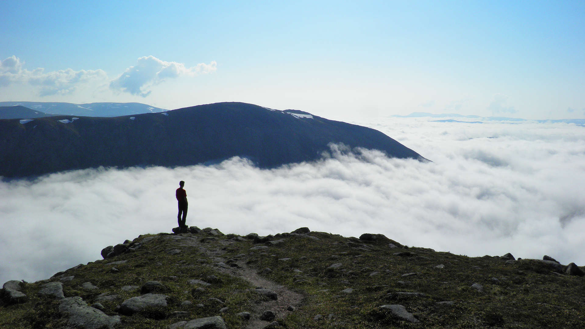
Munros above Glen Dee and Glen Geusachan
Hillwalking route up Monadh Mòr, Beinn Bhrotain and The Devil’s Point in the southern Cairngorms, rising above the dramatic Làirig Ghru.
Route outline
| Munros | ||||
| Walk ascent | 1400m (4590ft) | |||
| distance | 27km (17m) | |||
| time | 9:00hr | |||
| Bike ascent | 25m (80ft) | |||
| distance | 10km (6m) | |||
| time | 1:00hr | |||
| Start/finish | Linn of Dee, Braemar Grid Ref : NN852976 | |||
| Terrain |
| |||
| Nav |
| |||
| Effort |
| |||
| Scenery |
| |||


West of the Làirig Ghrù and south of the imposing peaks of Cairn Toul and Sgòr an Lochain Uaine, high ground encircles Glen Geusachan. On this ground are the Munro summits of Beinn Bhrotain, Monadh Mòr and the Devil's point, and combined together form a wonderful high-level circular route.
The easiest and most direct approach is from Linn of Dee, a few miles west of Braemar, from where a fine track leads to White Bridge. A bike makes for light effort to get to this point, from where constructed paths lead northwards through the wild glens to the foot of the mountains. Fainter paths climb the slopes and for those who'd like to stay a night or two, lonely Corrour Bothy sits below the dramatic slabs of the Devil's Point.
Show map
Route description
1. Getting to Linn of Dee

Beinn Bhrotain from White Bridge
From Braemar, drive west along its main street, veering right at the Hazelnut Patisserie, then continue on an unclassified road for 9km to the bridge over the Linn of Dee. Cross the bridge, turn sharp right and you'll come to a large car-park on your left. There is a one-way system around this car-park which is operated by the National Trust for Scotland and there is a daily charge of £3 to park.
2. Beinn Bhrotain

Approaching Beinn Bhrotain from the south-east
Walk or cycle back to the bridge over the Linn of Dee, then continue westwards along a fine track following the north side of the River Dee for 4.5km to 'White Bridge'  . If you've cycled in, then best leave your bike here.
Head up the path tracing western bank of the Dee for around 3km to cross a burn  .
.
Immediately after crossing the burn, turn away from the constructed path onto a fainter one heading west-north-west climbing gently uphill. The path cuts a route through heather and climbs Càrn Clioch-mhuilinn  .
.
From Càrn Clioch-mhuilinn, descend north-west on a path to a flat expanse, then climb 300m over easy terrain to reach the large cairn on Beinn Bhrotain's summit  . This is a fine summit, from where fine views are given over the Devil's Point to Cairn Toul.
3. Monadh Mor

Monadh Mòr from Beinn Bhrotain
After the easy trudge up to Beinn Bhrotain, the pink boulders that have to be descended next come as a bit of a shock. Due to the size of these, the path is not obvious, so careful navigation aiming north-west is needed in mist.
Just above the 1000m contour, the boulders are left behind and a path continues to the sharp bealach  between Beinn Bhrotain and Monadh Mòr.
Initially steep up the other side of the bealach, the path zig-zags north-west uphill, then becomes pretty faint as the ground begins to flatten - carefully navigation in mist will again be required - don't be fooled by a couple of small cairns off left (west). There's a little pile of stones on the minor summit Leac Ghorm, but the main summit of Monadh Mòr  (650m further on) has an obvious, though rather small cairn.
4. Devil's Point

Monadh Mòr from the Devil's Point
From Monadh Mor, continue following the faint path in a northerly direction over grassy flat ground. The grass gives way to more bouldery ground as descending begins. The path disappears as Loch nan Stuirteag comes into view, aim for the ground to the east of this.
Maintaining height, contour around the top of Glen Geusachan, crossing a couple of burns  coming down from Cairn Toul - there should be occasional deer-trods to trace through heather. The ground levels, terrain becomes easier underfoot as progress is made to the beleach north-west of the Devil's Point. A well-defined path cuts a rough through boulderfield to the Devil's Point's summit
  - a superb vantage point to view down Glen Dee to the southern Cairngorms and beyond.
5. Return to Linn of Dee

The Devil's point above Corrour Bothy
Return to the bealach below the Devil's Point, then pick up a path  that crosses a burn then zig-zags to descend to Corrour Bothy
  .
.
Below the bothy, cross the River Dee via a delicate metal bridge  , then follow the path south-east.
Shortly after the bridge, there is a faint split in the path  .....
.....
If you've cycled in to White Bridge, then take the right (west) fork on a path cutting through the grass and heather. The path initially can be a bit soggy, but further on it improves making a fine route back to White Bridge .
Pick up your bike to cycle back to Linn of Dee.
If you've walked in, then at the junction an alternative is to take the higher path which travels around the base of Càrn a'Mhàim into Gleann Laoigh Bheag to Derry Lodge. From here an estate track heads south-east to the bridge over Lui Water and returns to the car-park.
Route profile »

Maps and GPX downloads »


|
Download GPX of route |

|
Open route in OS Maps |
The map images above link to items on Amazon. A small commission is earned on any map purchased which helps fund the operating costs of this website.
Weather forecasts »
| Regional | MWIS - Cairngorms and Monadhliath |
| Peak specific | Mountain Forecast.com Met Office YR.no |
| Seasonal | SAIS - Northern Cairngorms Midge forecast |
Alternative and nearby routes »
Sgòr Mòr from Linn of Dee | |

|
A hike from Linn of Dee up heather-clad slopes aside fence posts to the summit of isolated Sgòr Mor, from where superb views are had of the Cairngorms. Peaks : 1 Corbett
Ascent : 650m (2130ft) Distance : 18km (11m) Time : 5:30hr |
Cairngorm darkside from Linn of Dee | |

|
Route up Ben Macdui and neighbouring Munros from Linn of Dee. Vast plateaux, granite tors, forests and the chance to spot reindeer herds. Peaks : 4 Munros
Ascent : 1850m (6070ft) Distance : 35km (22m) Time : 10:15hr |
Munros above Geldie Lodge | |

|
Route up Càrn an Fhidhleir and An Sgarsoch above Geldie Lodge. Remote Munros west of Linn of Dee, between Glen Tilt and the Geldie Burn. Peaks : 2 Munros
Ascent : 970m (3180ft) Distance : 38km (24m) Time : 7:25hr |
Ben Avon and neighbours from Linn of Quoich | |

|
Bike and hike route through Scots Pine forests up high plateaux and volcanic tors on the Munros Ben Avon, Beinn a' Bhùird, Beinn a' Chaorainn and Beinn Bhreac. Peaks : 4 Munros
Ascent : 1740m (5710ft) Distance : 50km (31m) Time : 12:15hr |
Morrone from Braemar | |

|
A short hillwalk from Braemar up a fine, if rather rough path to the top of Morrone - a superb viewpoint to survey the southern Cairngorms. Peaks : 1 Corbett
Ascent : 480m (1570ft) Distance : 6km (4m) Time : 2:25hr |


