

Meall nan Tarmachan Ridge
Routes up the Munro Tops on the Ptarmigan Ridge above Loch Tay
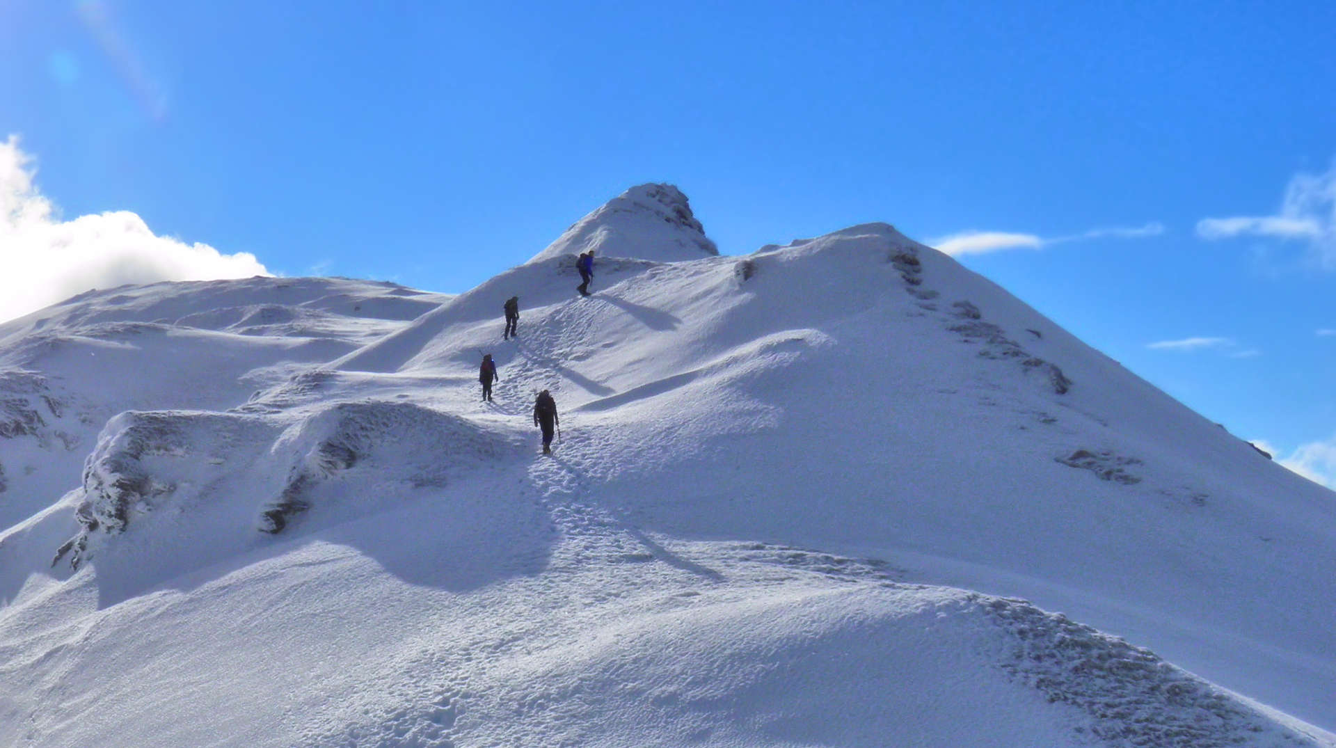
To the west of the Ben Lawers range of Munros, the Tarmachan Ridge dominates the skyline with its intimidating crags, peaks and long ridges.Meall nan Tarmachan summit on its own is one of the easiest munros.
Main route summary

Map base ©OpenStreetMap
The terrain is very 'runnable', so much so, that every year there is a Hill Race held (see 'Alternative routes' below) !
| Munros | Meall nan Tarmachan (1044m, Munro 89) |
| Ascent | 900m (2,950ft) |
| Distance | 12.5km (8m) |
| Time |
walking : 4:40hr* running : 2:10hr *Naismith's rule : 4km/h distance + 600m/h ascent |
| Start/finish |
Below Lochan na Lairige Dam
(grid ref : NN604383) |
| Profile | ||||
| Maps |
The map images above link to items on Amazon.
A small commission is earned on any map purchased which helps fund the operating costs of this website. More information on maps is on this page
|
|||
| Downloads |
Information on GPX files is on this page.
|
|||
| Terrain |
| |||
| Navigation |
| |||
| Effort |
| |||
| Scenery |
| |||
| Meanings | Meall nan Tarmachan : 'hill of the ptarmigan' Meall Garbh : 'rough hill' Beinn nan Eachan : 'hill of the small horse' Creag na Caillich : 'crag of the old woman' |


 - keep right and 500m on, keep straight-on at another junction.
 .
.
 in the crags north-east of the summit, from where an obvious path continues to Creag na Caillich's summit
  .
.
 .
.
 , but no difficulties are encountered.
 , then follow the path northwards over a broad crest to gain Meall na Tarmachan's summit
  with its small cairn.
Fine views on clear days !
with its small cairn.
Fine views on clear days !
 is used to gain the ground on the other side.
 (marked 923m on OS maps), then a fast 2km descent can be made on the path back to the track
  and to the road.


 to continue up over a minor summit


