
Arrochar Alps
Hillwalking routes on Beinn Ime, Beinn Narnain, The Cobbler and neighbouring Munros and Corbetts
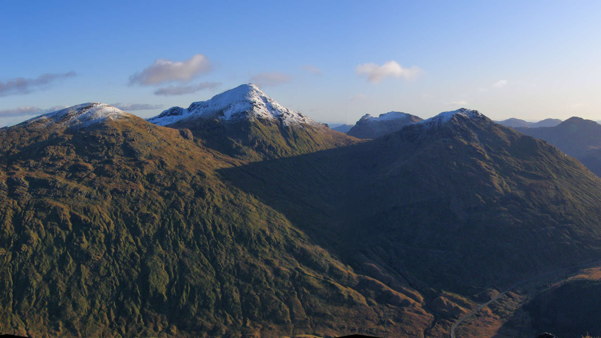
The peaks above the western side of Loch Lomond are collectively known as the Arrochar Alps. Considering the proximity of this mountain group is to Glasgow and its suburbs, it comes as a bit of a surprise that a lot of the routes over these peaks are on pathless terrain.The finest peak in the range is not one of the Munros, but a Corbett called The Cobbler or Ben Arthur. This peak is unusual as it's summit requires a bit of a scramble through a hole to reach the top.
Main route summary

Map base ©OpenStreetMap
The most popular route into the area is from the large car-park at Arrochar, however, for most people, this will leave Ben Vorlich awkwardly placed and therefore left to be bagged on another day.
Coming in from Inveruglas on the western shore of Loch Lomond however, allows the hills to be climbed in a circular route. A mountain bike can help cut down some of the time required.
| Munros |
Ben Vorlich (943m, Munro 229) Ben Vane (916m, Munro 281) Beinn Ime (1011m, Munro 118) Beinn Narnain (927m, Munro 256) |
| Corbetts |
Beinn Luibhean* (858m) The Cobbler (Ben Arthur)* (884m) * see alternative routes below |
| Ascent | 2440m (8,000ft) |
| Distance | 25km (15.5m) |
| Time |
walking : 10hr* running : 3:50hr *Naismith's rule : 4km/h distance + 600m/h ascent |
| Start/finish |
Inveruglas on Loch Lomond
(grid ref : NN322099) |
| Profile | ||||
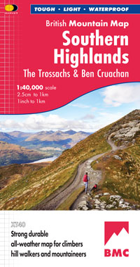
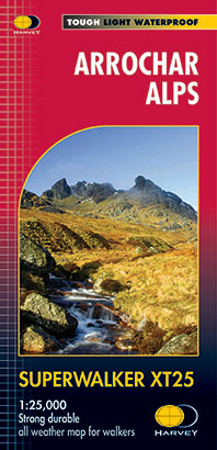
| Maps |
The map images above link to items on Amazon.
A small commission is earned on any map purchased which helps fund the operating costs of this website. More information on maps is on this page
|
|||
| Downloads | ||||
| Terrain |
| |||
| Navigation |
| |||
| Effort |
| |||
| Scenery |
| |||
| Meanings | Ben Vorlich : 'hill of the bay' Ben Vane : 'middle hill' Beinn Ime : 'hill of butter' Beinn Narnain : 'hill of the notches' Beinn Luibhean : 'hill of the little plant' |


Route detail & map »
Getting to Inveruglas
- Inveruglas lies on the A82 by the shores of Loch Lomond, 5km north of the junction with the A83 at Tarbet. There is a large car-park with a coffee-shop and visitor-centre.
Ben Vorlich
- The route starts 1km south of the car-park. From this car-park, cross the road and head south on the pavement, pass the phone-box and onto a path to the gate to the hydro road. The gate doesn't unlock, so bikes are a tad difficult to get over.
- Go up the road for 2km to a bridge, and if on a bike, leave your bike here.
- Continue north-west in the direction of the Sloy Dam for 1km and look for a small cairn at the side of the road. This cairn marks the start of a route up.
- There is however a more direct route that aims up from the dam, but I prefer the route up from the cairn as it is lot less steep.
- Both routes will take you onto the crest of Ben Vorlich, where there is an obvious path that wanders to the summit.
- The summit is not the point with the trig pillar on it, it is the large cairn just a bit further on. The cairn sits on top of some small crags where there is plenty shelter out of any wind.
Ben Vane
- From Ben Vorlich's summit, return south-east for 1km until you are looking directly down to the Sloy Dam.
- Ahead is a steep drop of 500m. The ground is initially quite loose, however, with good gripping footwear, this is quite runnable. It becomes grassy quite quickly and further down when approaching the dam, the ground becomes wet and again quite loose.
- Cross the dam and follow the road up until it switches back on itself, from where, leave the road and cross wet ground to start climbing uphill.
- There are no paths, just aim south-west up over the grass and climb around 350m to where the ground levels out. The summit can now be seen ahead and various route possiblities present themselves - I prefer to follow a burn for a bit, then up the continuing gully onto the crest from where I'll turn left (south) and continue up the last 50m of climb to the small cairn on the summit.
Ben Ime
- Due west next, down a fairly gradual descent for 1km, dropping just over 300m down Ben Vane's western side. The ground on this descent is mostly wet grass and no paths are present to follow.
- You'll need to turn south-west for the last 50m drop to the bealach. At the bealach, cross one burn, then uphill, follow the burn that comes down from Beinn Ime.
- Still on wet grassy ground, continue uphill and aim for Glas Bhealach. As you near this col, start to turn south-west, then south up the northern shoulder of Beinn Ime.
- You'll start to pick up a path that continues to the ruined summit trig-point. Good views from up here in all directions.
Ben Narnain
- A good worn path heads off south-east from the summit of Beinn Ime. Follow this and after around 300m, the path starts to change direction and loose height.
- The ground becomes wetter and the path fainter as height is lost and, upon reaching Bealach a'Mhaim, it becomes quite an effort trying to maintain dry feet. Occasionally in summer, cows can be seen up here.
- Cross the bealach and its fence, then start uphill aiming for Beinn Narnain. A path appears, which is followed up the grassy slopes.
- In fine weather it is possible to look over to The Cobbler and see directly through the hole on its summit boulder.
- Continue up the path to bouldery ground and the summit cairn and trig point. A few metres south-east beyond the summit is a fantastic view over Loch Lomond to Ben Lomond, framed with some of Beinn Narnain's crags.
Return to Inveruglas
- Return to Bealach a'Mhaim, then follow the fence east down steep, grassy, wet ground to a gate and into forestry.
- As you reach the trees, the path disappears, but you'll see the track ahead to aim for. Get onto this track and follow it for 4km back to the bridge.
- If, like me, you've left a bike at the bridge, then all that's left is a terrific freewheel, downhill back to the road.


