
Càrn na Caim and A' Bhuidheanach Bheag
Hillwalking route up Càrn na Caim and A’ Bhuidheanach Bheag, highest points east of Drumochter. A fine track and fence posts aid navigation across vast moor.
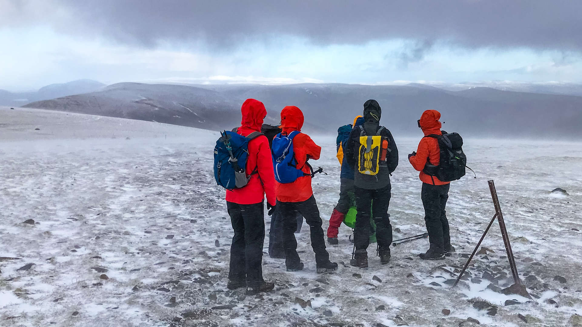
Route outline
| Munros | ||||
| Ascent | 800m (2620ft) | |||
| Distance | 16km (10m) | |||
| Time | 5:30hr* | |||
| Start/finish | Dalwhinnie, Highland Grid Ref : NN639821 | |||
| Terrain |
| |||
| Nav |
| |||
| Effort |
| |||
| Scenery |
| |||


From the northern side of the pass, a fine estate track leads onto the expansive ground between the hills, passing near the site of a long-abandoned quartz quarry. Underfoot conditions are generally straightforward, with lines of fence posts aiding navigation between A' Bhuidheanach Bheag and Càrn na Caim.
Heather-clad slopes provide a pleasant and direct descent to finish the route.te.
Route map

Route description
1. Getting to start near Dalwhinnie

On the track heading to A' Bhuidheanach Bheag
This route starts on the east side of the A9, 1km south of the Dalwhinnie junction, where a track heads into a section of forest.
There is limited parking available at the roadside here with more in lay-by 87 on the other side of the road a few metres south.
2. A' Bhuidheanach Bheag

A' Bhuidheanach Bheag's summit trig, with Schiehallion distant
From the large gate (often open), go through the planted forest and head up the track.
The track turns south  and climbs for 1km, before heading east, then turning south-east for the last 200m ascent up to the plateau.
As it approaches the old quarry, the path seems to disappear into gravel, at this point  , contour off to the right (south-east) on a faint path for around 500m. This avoids an unnecessary ascent up to a minor summit
  (marked 902m on OS maps) and you'll re-join the track again around 300m south of the minor summit, this time beside a line of fence-posts.
Follow the track and fence-posts south, over a bump for 1km to its end  , then cross the wet ground and head southwards directly uphill.
After climbing up grassy slopes for another 1km, you should meet up with the line of fence-posts  to take you to the summit of a' Bhuidheanach Bheag
  with its lonely trig point.
3. Càrn na Caim

Càrn na Caim's summit with Meall Chuaich beyond
About-turn at A' Bhuidheanach Bheag's trig point and return north following the fence-posts for 500m to retrace steps downhill from the sharp turn in the fence-line . Rejoin the track heading northwards uphill.
Back over the bump and then where you joined the track, instead continue over the minor summit (marked 902m on OS maps) .
Continue following the fence-posts or track over another minor summit (marked 914m on OS maps)  on towards Càrn na Caim.
Over undulating ground, around the top of Coire Uilleim  , reach a sharp turn in the fence-line
  just before Càrn na Caim's summit. Càrn na Caim's summit cairn
  cannot be seen from the turn in the fence-line, but the worn path on the ground indicates the way.
4. Return to A9 near Dalwhinnie

Following fence posts back along Càrn na Caim
Leave Càrn na Caim's summit cairn and retrace your steps for around 1km to the top of Coire Uilleim . Leave the track and begin contouring westwards for around another 1km.
Now keeping to the crest of the shoulder between Coire nan Cisteeachan and Coire Uilleim, enjoy some bounding as you descend over thick heather, back down towards the A9.
Pick up the track and return to the roadside.
Maps and GPX downloads »


Route profile »

Weather forecasts »
| Regional | MWIS - Southeast Highlands |
| Peak specific | Mountain Forecast.com Met Office YR.no |
| Seasonal | SAIS - Southern Cairngorms Midge forecast |
Alternative and nearby routes »
East of Drumochter | |
|
Linear hillwalking route over Càrn na Caim, A’ Bhuidheanach Bheag and Meall Chuaich east of Drumochter. Transport helps as start and finish are 11km apart. Peaks : 3 Munros
Ascent : 1100m (3610ft) Distance : 25km (16m) Time : 8:10hr* | |
West of Drumochter Munros | |
|
Hillwalking route up Beinn Udlamain and Munros west of Drumochter, a quick high-level round of 4 summits with option to add the Sow of Atholl. Peaks : 4 Munros, 1 Corbett
Ascent : 1300m (4270ft) Distance : 24km (15m) Time : 8:10hr* | |
An Dùn and A' Chaoirnich | |
|
Biking and hiking route above Gaick Pass. Cycle estate tracks to Loch an Duin, then hike faint paths to the remote Corbetts A' Chaoirnich and An Dùn. Peaks : 2 Corbetts
Ascent : 1190m (3900ft) Distance : 53km (33m) Time : 5:30hr* | |
The Fara and Meall nan Eagan | |
|
This Dalwhinnie hillwalking circuit leads to The Fara’s large summit cairn and superb views and also takes in nearby Graham, Meall nan Eagan. Peaks : 1 Corbett, 1 Fiona
Ascent : 550m (1800ft) Distance : 11km (7m) Time : 3:40hr* | |
Meall na Leithreach from Dalnaspidal | |
|
Hillwalking route up Meall na Leitreach from Dalnaspidal. A short direct route with just 450m of ascent, extendable into a more varied circular hike. Peaks : 1 Corbett
Ascent : 475m (1560ft) Distance : 13km (8m) Time : 4hr* | |
* Times shown are estimates – see timing notes on the disclaimer page for more information.

