
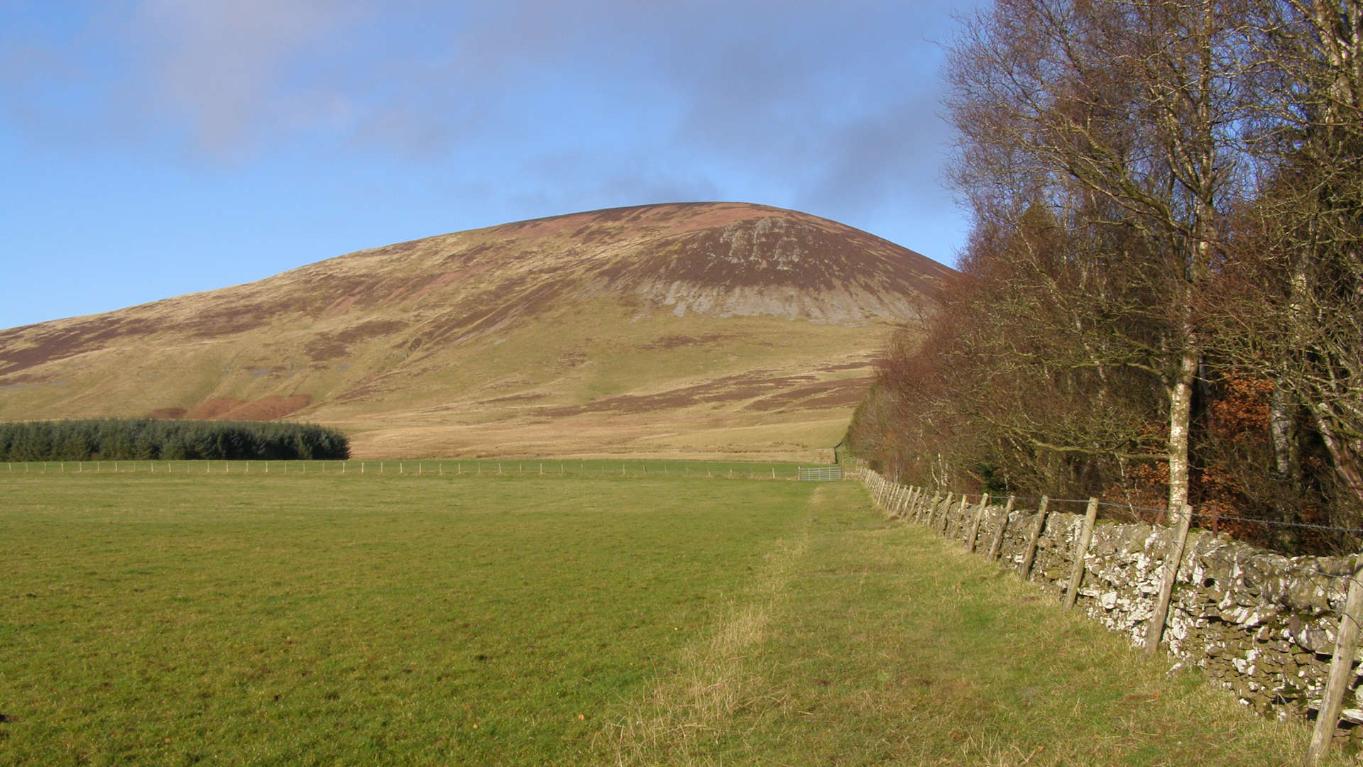
Tinto from Wiston and Thankerton
The most popular route up Tinto Hill is from Thankerton, also used in the hill race. A quieter alternative ascends from Wiston to the south.
Route outline
| Fionas | ||||
| Ascent | 455m (1490ft) | |||
| Distance | 5km (3m) | |||
| Time | 2:00hr | |||
| Start/finish | Wiston, Biggar Grid Ref : NS956322 | |||
| Terrain |
| |||
| Nav |
| |||
| Effort |
| |||
| Scenery |
| |||


Once through Wiston Lodge grounds and its woodlands, a grassy trod leads up to the foot of Tinto Hill. Traversing some screes, a fence-line is followed to Tinto's summit where a huge untidy cairn rests a short distance away from a trig point.
Also detailed below is the route aiming in from near Thankerton to the north of Tinto, which is followed each November for the route line of the Tinto Hill Race.
Show map

Route description
1. Getting to Wiston

Heading up from Wiston
Halfway between Abington Services (just off the M74) and Biggar on the A73/A72, the B7055 heads north-west.
Drive along this, winding past several houses until you reach the entrance of Winston Lodge by the local primary school.
There is space to park a couple of cars here by the roadside. Alternatively, with permission, parking is available in the lodge's grounds.
2. Tinto Hill

On the summit of Tinto
Walk into the lodge grounds on the access track and head north, keeping the lodge on your right-hand side. The slightly mucky track passes a house on your left and comes to a water works hut, where there is a slightly hidden sign pointing the route up to Tinto.
The route comes to a field with a gate  - head through this and follow the edge of a forest (on your right) up a couple of fields with occasional sodden ground to another gate
  .
.
Through the gate, keeping a fence on your right, follow a path, then start climbing up grassy ground.
The path reaches open hillside  , heads through some heather and reaches the base of some screes. A choice of paths traversing and zig-zaging or aiming directly uphill eventually meet up with a double fence-line
  travelling up the south-east shoulder of Tinto.
Follow the fence-line to the Tinto's summit  where there is a huge and untidy cairn with a trig point nearby. The views are vast from this point
3. Return

Fence-lines heading down Tinto
Head back down Tinto by the route up.
The are various alternatives to a direct return down Tinto's southern aspect, however all of these will involve either organising transport or a walk along a road.
4. Tinto from the north (and Tinto Race route)

Tinto hill race in action
To the north of Tinto is Thankerton and on the opposite side of the A73 from this village, a narrow road heads south-west. A large car-park is around 500m down this road just past some houses and a farm. The most popular route up Tinto begins from here.
From the car-park, head to an information board, from where a well worn path heads south. The path climbs gently for the first 1km or so, passing a medival fort  , then the gradient increases slightly as the path narrows and becomes rougher. A little further on the path swings abruptly south
  then meets up with a track heading in from the east.
The track is followed to above Maurice's Cleuch to a fork in the route  at around c530m. Either direction can be taken - though if on the race, most runners will opt for the right fork (west). Both routes converge higher up
  , from where the final 100m of climb to the summit follows a fence-line.
This route described is also this line of the Tinto Hillrace which takes place annually in November and is organised by Carnethy Hill Running Club.
Route profile »

Maps and GPX downloads »


|
Download GPX of route |

|
Open route in OS Maps |
The map images above link to items on Amazon. A small commission is earned on any map purchased which helps fund the operating costs of this website.
Weather forecasts »
| Regional | MWIS - Southern Uplands |
| Peak specific | Mountain Forecast.com Met Office YR.no |
| Seasonal | Midge forecast |
Alternative and nearby routes »
Culter Fell and Gathersnow Hill | |

|
Hillwalking route in the Culter Hills south of Biggar around Coulter Reservoir, over grassy summits including Culter Fell and Gathersnow Hill. Peaks : 2 Fionas, 4 Donalds
Ascent : 960m (3150ft) Distance : 19km (12m) Time : 6:30hr |
Broughton Heights and Trahenna | |

|
Hillwalking route over Broughton Heights and Trahenna Hill in the Southern Uplands, grassy crests with fences aiding navigation and fine views. Peaks : 2 Donald Dewey's
Ascent : 630m (2070ft) Distance : 11km (7m) Time : 3:45hr |
Broad Law to Dollar Law | |

|
Hiking route up Broad Law, Cramalt Craig and Dollar Law from Megget Stone. Fencelines aid navigation across the rolling Southern Uplands. Peaks : 1 Corbett, 4 Donalds, 2 Donald Tops
Ascent : 810m (2660ft) Distance : 16km (10m) Time : 5:20hr |
Pykestone Hill from Manor Water | |

|
Hillwalking route up Pykestone Hill and Middle Hill from Manor Water, a quiet walk above Peebles with secluded corries and wide southern views. Peaks : 2 Donalds, 3 Donald Tops
Ascent : 600m (1970ft) Distance : 12km (7m) Time : 4hr |
Black Law and Dollar Law | |

|
Hillwalking route from Black Law to Dollar Law above Manor Water: tough trackless eastern half contrasts with easier grassy crests and clear paths west. Peaks : 3 Donalds, 5 Donald Tops
Ascent : 1030m (3380ft) Distance : 17km (11m) Time : 6hr |

