
Driesh
Driesh, at the head of the Angus Glens, rises above northern corries falling to Glen Clova, and is often climbed with neighbour Mayar for an easy day out.
Driesh
| Height | 948m |
| Prominence | 138m |
| Meaning | thorn bush |
| Lists | Munros (M218) |
| Location | Angus Glens, Glenshee to Cairn o'Mount |
| Grid Ref | NO271736 |
| Lat/Lon | 56.84799, -3.19614 |
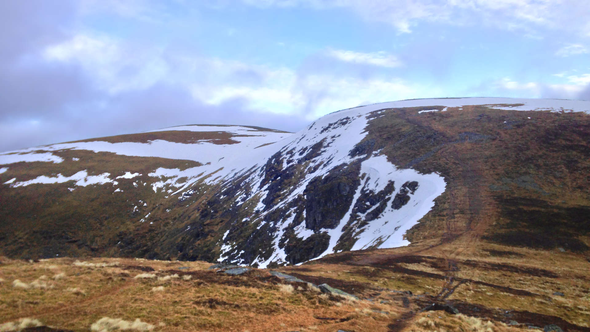
The dome of Driesh sits above the winter corries that drop down to Glen Clova to the north-east, forested Glen Doll to the north-west and above rolling heather and grass covered slopes leading to Glen Prosen to the south.
Driesh together with it's neighbour Mayar, form a long stretch of grass-covered high ground above the Angus Glens. These hills have well defined paths up their slopes and make for one of the easiest Munro-bagging days.
Extending this route northwards will test navigation over fairly featureless terrain, but the effort is rewarded not only by bagging the Munros of Tom Buidhe and Tolmount, but also by a lovely hike down Jock's Road into Glen Doll.
Routes up Driesh
Driesh and Mayar | |
|
Hillwalking route up Driesh and Mayar above Glen Doll in the Angus Glens. Easy paths make these Munro twins ideal for a shorter day. Peaks : 2 Munros
Ascent : 900m (2950ft) Distance : 14km (9m) Time : 5hr | |
Munros above Jock's Road | |
|
Route over Driesh, Mayar, Tom Buidhe and Tolmount above Jock’s Road. A grassy circuit with little feature, sure to test navigation skills. Peaks : 4 Munros
Ascent : 1375m (4510ft) Distance : 26km (16m) Time : 9hr | |


