Beinn Spionnaidh
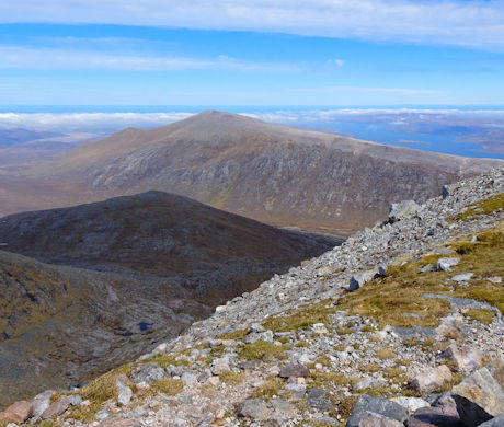
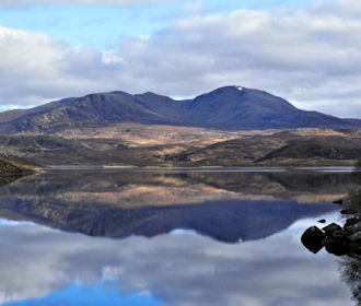
Beinn Spionnaidh, a grassy quartzite-topped hill in the far northwest, with neighbour Cranstackie forms the most northerly high ground on Scotland’s mainland.
Beinn Spionnaidh
| Height | 773m |
| Prominence | 211m |
| Meaning | mountain of strength |
| Lists | Corbetts, 202 |
| Location | Cape Wrath to Loch Eribol, Loch Shin to the Pentland Firth |
| Grid Ref | NC371490 |
| Lat/Lon | 58.47304, -4.8105 |
Situated on the peninsula between Loch Eriboll and Kyle of Durness, Beinn Spionnaidh's grass covered slopes rise gently to meet with its summit crest stretching north-east to south-west and covered in quartzite boulderfield.
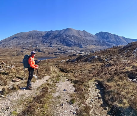
Beinn Spionnaidh's and nearby Cranstackie's crests link together at a grassy col at a height of 550m. Most hillwalkers will therefore combine them into one outing, but there's a choice of approach - from Loch Eriboll to the east or Carbreck to the west.
Routes up Beinn Spionnaidh
Cranstackie and Beinn Spionnaidh from Loch Eriboll | |

|
Hillwalking route up Cranstackie and Beinn Spionnaidh from Loch Eriboll. A rough, pathless hike following the Allt Leacach to reach the bouldery twin summits. Peaks : 2 Corbetts
Ascent : 1025m (3360ft) Distance : 11km (7m) Time : 4:30hr |
Cranstackie and Beinn Spionnaidh from Carbreck | |

|
Hillwalking route up Cranstackie and Beinn Spionnaidh from Carbreck following a track to climb grassy slopes to the rocky crests of the twin peaks. Peaks : 2 Corbetts
Ascent : 1050m (3440ft) Distance : 13km (8m) Time : 5hr |
Nearby hills and mountains


